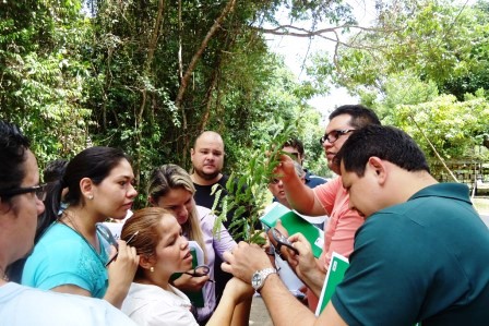
ACTIVITIES CONDUCTED
The database for building the historical series of deforestation was created within the TerraAmazon platform, where the information plans available for these biomes were inserted. The images for the mapping of deforestation accumulated until the year 2000, and for the mapping of the years 2002, 2004, 2006, 2008, 2010, 2013, 2014, 2015, 2016 and 2017 were selected and processed, being ready for interpretation. In order to meet the needs of the Ministry of the Environment (MMA), the Foundation for Space Applications and Technology (Funcate) prioritized the preparation of maps from 2004 to 2018 for the historical series.
The methodology applied is consistent with the Amazon Monitoring Program and other INPE biomes. The mapping is performed by visual analysis of the medium spatial resolution images (Landsat and similar), with a minimum mappable area of 1 hectare, operational work scale of 1:75,000, ensuring the production of the final maps in the 1:250,000 scale.
The data below reveal a significant increase in the monitored area in the four biomes.
|
|
2019
|
2020
|
2021
|
|
Mata Atlântica
|
201,324.08
|
1,118,467.12
|
3,760,143.28
|
|
Caatinga
|
115,915.88
|
827,970.54
|
3,019,238.35
|
|
Pampa
|
126,924.68
|
357,534.18
|
969,578.00
|
|
Pantanal
|
151,195.21
|
453,570.58
|
981,246.89
|
After the construction of the historical series of deforestation maps, CO2 emissions will be calculated on the deforested areas in this period and then the forest emissions reference levels (FREL).
The database was also prepared for all biomes, which are awaiting the new layers of information (or maps) regarding deforestation and the distribution of past vegetation and biomass and carbon stocks in the compartments of interest for insertion. In addition, the validation of vegetation maps was initiated and meetings were held with the Ministry of Science, Technology and Innovations (MCTIC) to define carbon stock values. There was also the preparation of 90% of the database for image processing for construction of the vegetation map.
With regard to the development of the Platform for analysis and visualization of large volumes of geospatial data "Brazil Data Cube", the collections and data cubes of images of the satellites MODIS, CBERS-4/4A, Landsat-8 and Sentinel-2 were expanded to achieve the goal of covering the entire national territory and including recent images. It consists of web services, applications and software packages, interfaces and iterative computing environments. These data are available in an open and freely accessible way through the Brazil Data Cube portal (https://www.brazildata.cube.org/).
Since the beginning of the project, 29 articles have been published in magazines and congresses, with emphasis on the article Earth Observation Data Cubes for Brazil: Requirements, methodology and Products, published in the international magazine Remote Sensing, one of the most downloaded - TOP Downloaded (Nov 2020 – Jan 2021). It was decided to publish in journals that have an open access policy for wide dissemination both to researchers and to society in general. There are 25 scientific, pedagogical or informative publications produced.
Nine training events were held, divided into three courses, four lectures and two workshops. Five 4-hour training sessions were also carried out to present the improvements implemented in TerraAmazon (georeferenced annotations, new layout of the main interface, changes in editing mode, and revisions of the vector processing algorithms).
It is also worth mentioning activities such as the maintenance and administration of the computing infrastructure used by the project, including servers, databases, network, and other components that integrate the IT infrastructure of the project, including the workstations performed by information technology professionals.