CONTEXTUALIZATION
Belonging to the Amazon biome, Acre maintains approximately 85% of forest area in its territory, with around 2.4 million hectares deforested, making it the fourth state in the Legal Amazon with the highest proportion of forested area. It has the sixth highest accumulated deforestation rate in the Legal Amazon, which showed a growth trend between 2018 and 2021, with an average annual rate of 680.25 km² in the last four years, 126% higher than the period from 2014 to 2017.
In 2022, there was a 5.5% drop in the deforested area, a trend maintained in 2023. By November 2023, the deforested area was 597 km2, which projects a drop of around 18% compared to the previous year.
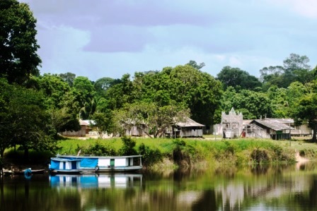
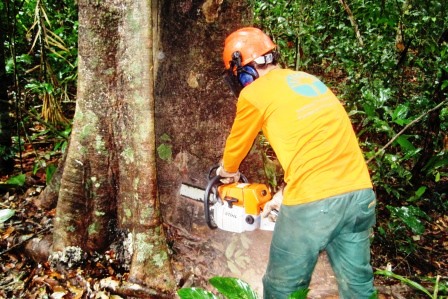
Despite the restart of reduction in deforestation rates, pressure on vegetation coverage remains and the history of deforestation in Acre shows variations in the dynamics and patterns of change in land cover. Most of the deforestation was carried out in medium areas, which are transformed into pasture areas for cattle raising and agricultural production, and in small areas, confirming a pattern of small deforestations, a reflection of the traditional management of natural resources, with openings made in small areas ((swiddens) of forest to renew production areas on small properties and in the family farming system.
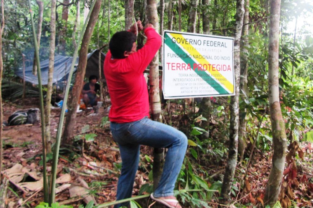
It is also worth highlighting the change on the environmental crimes pattern in the region. Increasingly, organized groups are coming together to invade public and private lands, deforest, steal wood, burn, negotiate and profit from illicit activities. Vulnerable areas such as state and federal Conservation Units, settlement projects, federal land, and Indigenous Lands are targeted, with the potential to increase deforested rates even further.
Considering this situation, the state of Acre requested support of the Amazon Fund resources to carry on the “Towards Zero Illegal Deforestation in the state of Acre” project, focusing on monitoring, control, and inspection activities, aligned to the Plan for the Prevention and Control of Deforestation and Forest Burning of the State of Acre – PPCDQ/Acre.
THE PROJECT
The project consists of fifteen products distributed across five components, and will be executed by nine state administration institutions, each of which will be responsible for executing one or more products:
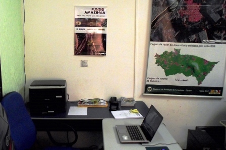
Monitoring and control
- Integration of state monitoring, inspection, and licensing systems;
- Automation and integration of the infraction investigation system;
- Implementation of a digital platform for managing state Conservation Units;
- Strengthening the Environmental Policing Battalion;
- Strengthening air and border patrol;
- Strengthening the fight against burning and forest fires.
Land use planning
- Modernization of the environmental licensing system for forestry activities;
- Update and execution of surveillance plans for Indigenous lands in Acre;
- Geo-registration of areas for land regularization purposes;
- Modernization of the land database for the state of Acre;
- Update and integration of "ZEE VIVO” with other platforms in the state of Acre.
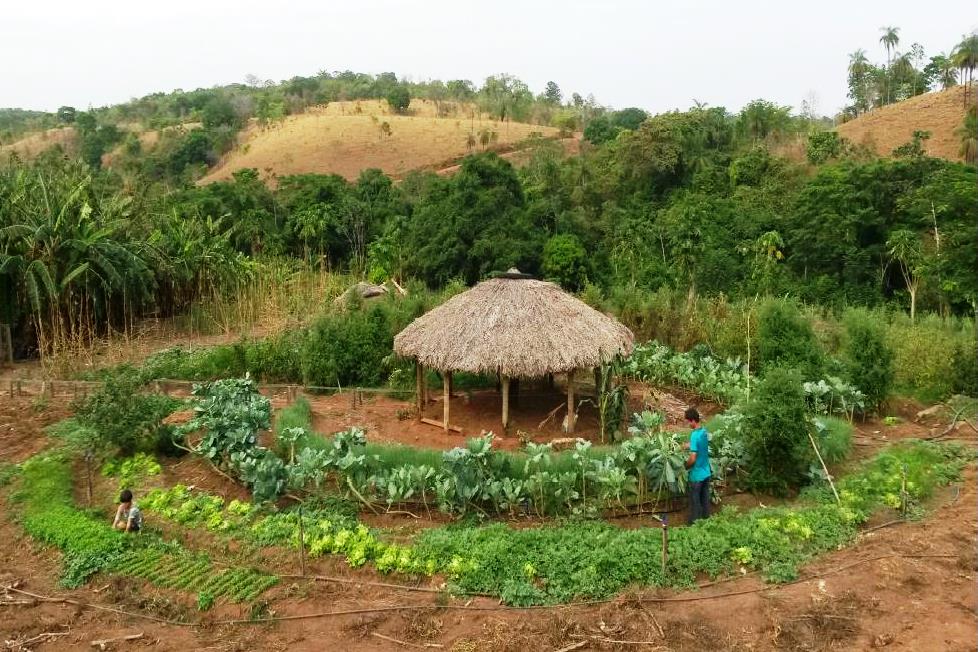
Sustainable Production
- Preparation and implementation of Area Recomposition Projects – PRAs;
- PRA monitoring by SEMA.
GHG Emissions and Removal Inventory.
- Update of the Greenhouse Gas Emissions and Removals Inventory (IGEE) of the state of the main production sectors (base period 2018 to 2022).
Project Management Structure.
INTERVENTION LOGIC
The project is part of the Sustainable Production (1), Monitoring and Control (2) and Territorial Planning (3) components of the Amazon Fund.
General objectives:
- Government actions ensure the adequacy of anthropogenic activities to environmental legislation
- The Amazon biome area is territorially organized
- Activities that keep the forest standing are economically attractive in the Amazon biome
For the Monitoring and Control component, the project will contribute to the result “Monitoring, Control and Environmental institutions structured and improved”, through specific objectives:
- Integrated information available in a timely manner
- Greater effectiveness in combating deforestation
- Increased response to forest fires
- Improvements in the prevention of deforestation and fires and burning
For the Territorial Planning component, the project will contribute to the results of “Land area with regular land use status expanded” and “Territorial organization defined through Ecologic and Economic Zoning implemented at the Amazon biome” through specific objectives:
- Reduction of threats to Indigenous lands
- Advances in the allocation of vacant land
Within the Sustainable Production component, the project will contribute to the result “Deforested and degraded area recovered and used for economic and ecological conservation use”, through specific objectives:
- Advancement in the implementation of the PRA
- Update of the Greenhouse Gas Emissions Removals and Inventory (IGEE) of the state of the main production sectors (base period 2018 to 2022).