CONTEXTUALIZATION
Created in 1988, the state of Tocantins covers an area of 277,621 km² in a region between the Amazon Biome (9%) and the Hinterland Biome (Cerrado) (91%). There are 139 municipalities, with an estimated population of 1.38 million inhabitants, according to 2010 data from the Brazilian Institute of Geography and Statistics (IBGE).
The state’s economic structure is based mainly on farming and cattle-raising, as well as the trade and services sector in the capital, Palmas. However, a large part of the small and large-scale farmers still employ environmentally inadequate methods to establish pastures or prepare soil.
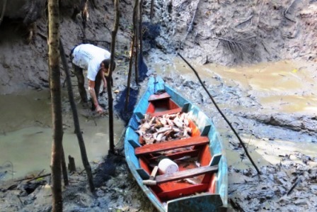
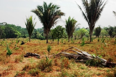
Despite being a region with relatively recent occupation, the state has has been suffering from environmental problems, especially in the farming and cattle-raising sector, due mainly to deforestation and burn-offs.
THE PROJECT
The activities proposed in the project largely reflect the strategies outlined in the Action Plan to Prevent and Control Deforestation and Burn-offs in the State of Tocantins, which was disclosed in 2009. According to this document, tackling deforestation in the state requires a diversified strategy, focused on planning and managing landscape, recovering environmental damage and protecting the remaining vegetation.
The project’s main objectives are to:
- implement the Rural Environmental Registry (CAR) throughout the state;
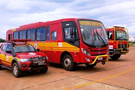
- improve the deforestation monitoring and control system of the State of Tocantins.
The project will be coordinated by the Secretariat of the Environment and Water Resources (SEMARH) of Tocantins.
INTERVENTION LOGIC
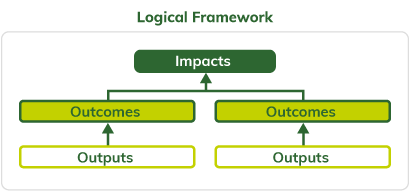
This project falls under the "Monitoring and Control" (2) component of the logical framework of the Amazon Fund.
Click on the following image to view its objectives tree, that is, how the project's outputs and linked to the expected outcomes and impact.
