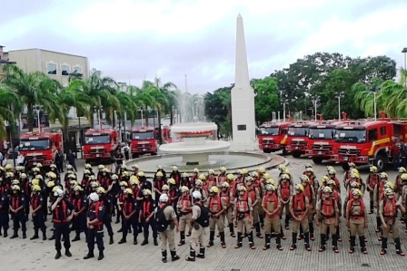
Activities performed
The project was structured in three components: (i) support for the analysis and validation of the CAR; (ii) promotion and support for registration in the CAR; and (iii) infrastructure for the analysis and validation of the CAR.
Component 1 – Support for CAR analysis and validation
The project aimed to analyze and validate 67,788 rural environmental registrations in the State of Paraná. 11,088 analyses and validations were carried out within the scope of the project, through a management contract signed with the Paraná Environmental Technology and Monitoring System – SIMEPAR.
The subsequent stage, to analyze 56,700 records, should have been carried out by a service provider to be selected by public bidding, taking advantage of the methodology developed and tested by SIMEPAR and IAT in the previous stage.
Considering that there was no hiring of a company to carry out the prior analysis of registrations, in addition to the work already carried out by SIMEPAR, the expected value of CARs analyzed in this component was frustrated, resulting in the analysis of about 16% of the total originally foreseen.
Component 2 – Promotion and support for CAR registration
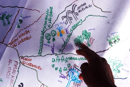
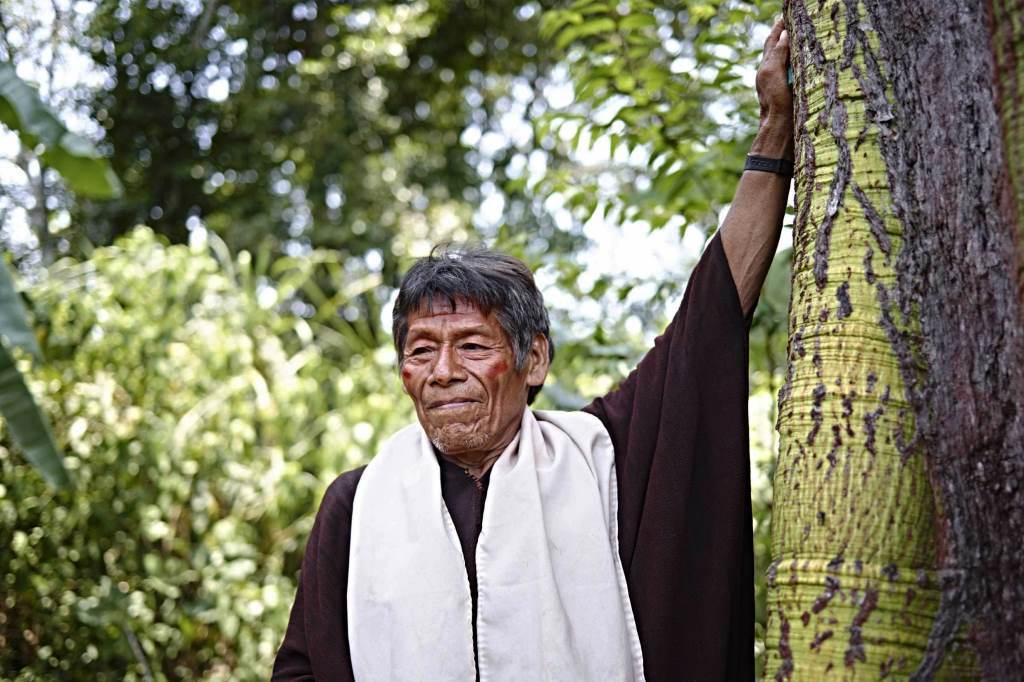
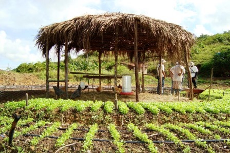
The objective in this component of the project was the registration of traditional peoples and communities that make collective use of their territory in areas considered priority for conservation in the state of Paraná.
Initially, a study was carried out to identify and locate these traditional peoples and communities, which consolidated the legal framework related to the rights of traditional peoples and communities in relation to CAR and detailed their location, estimated population, the number of families by segments and socioeconomic, land, territorial and domain aspects.
Finally, this study indicated the methodology to be followed in the registration process of the territories of traditional peoples and communities, respecting their family and collective uses.
It is worth mentioning that traditional peoples and communities are defined as “culturally differentiated groups that recognize themselves as such, that have their own forms of social organization, that occupy and use territories and natural resources as a condition for their cultural, social, religious, ancestral and economic reproduction, using knowledge, innovations and practices generated and transmitted by tradition”, according to the National Policy for the Sustainable Development of Traditional Peoples and Communities[1].
Subsequently, companies were hired to perform the registration services at SICAR of the territories of traditional peoples and communities in the state of Paraná. 165 collective rural environmental registrations of traditional communities in SICAR were carried out and registered, with a total area of 191,147 hectares in properties and possessions and 372,712 hectares in a declared area of traditional territories of traditional peoples and communities, totaling 2,340 registered people.
Component 3 – CAR analysis and validation infrastructure
Technical manuals and methodological roadmap for CAR analysis were prepared and 45 IAT professionals were trained, including technicians and operational managers, for assisted implementation in the SICAR module and in federal and state forestry legislation.
In order to organize and systematize databases distributed in various agencies of the State of Paraná, aiming at their adaptation to the computational architecture and conceptual model of the platform of the State Environmental Management System of the IAT and SICAR, 15 thematic bases were compatible, among which: municipal limits, road network, river basins, altimetric map, land structure, conservation units and images of various satellites.
New thematic bases were also prepared to establish the use and coverage of land and in order to improve the identification of drains and springs and the use and coverage of land on properties. Slope maps were also prepared, which were not available at SICAR at the time, allowing the identification of permanent preservation areas with slopes greater than 45°, slopes between 25° and 45°, edges of trays and plateaus, hilltops and areas with altitude above 1,800 meters.
Among the thematic bases and maps prepared by the project, the preparation of a map of restrictions on use is mentioned; land use and coverage maps generated from the mosaic of Landsat 8 images; and land use and coverage map generated from the mosaic of ALOS images, adapted to the SICAR classes.
These thematic bases were made compatible with the official layers existing in the State and organized on a webgeo platform called GeoSICAR PR.
A new functionality was developed in SICAR, through the creation of the Geo Administrator profile, which allows the insertion of vector layers and reference geographical information in the analysis module, without the need to open demands with the SICAR administrator. Two additional performance profiles were also developed, which allowed the generation of management reports to identify the number of registrations analyzed by institution.
There was a forecast of acquisition by the project of furniture, vehicles and computer equipment, among others, for better operational structuring of the IAT. However, only one multimedia projector, the projection screen and its support, a laser pointer, HDMI cable and peripherals were purchased for this purpose. The integration between SICAR and the State Environmental Management System (SGA) had also been foreseen, but this activity was also not carried out.
[1] Decree 6,040 of February 7, 2017